


Book a Free Quote
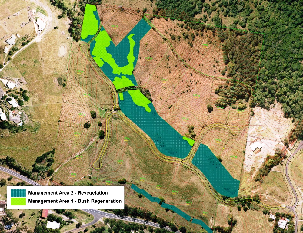
GIS Mapping and Land Development
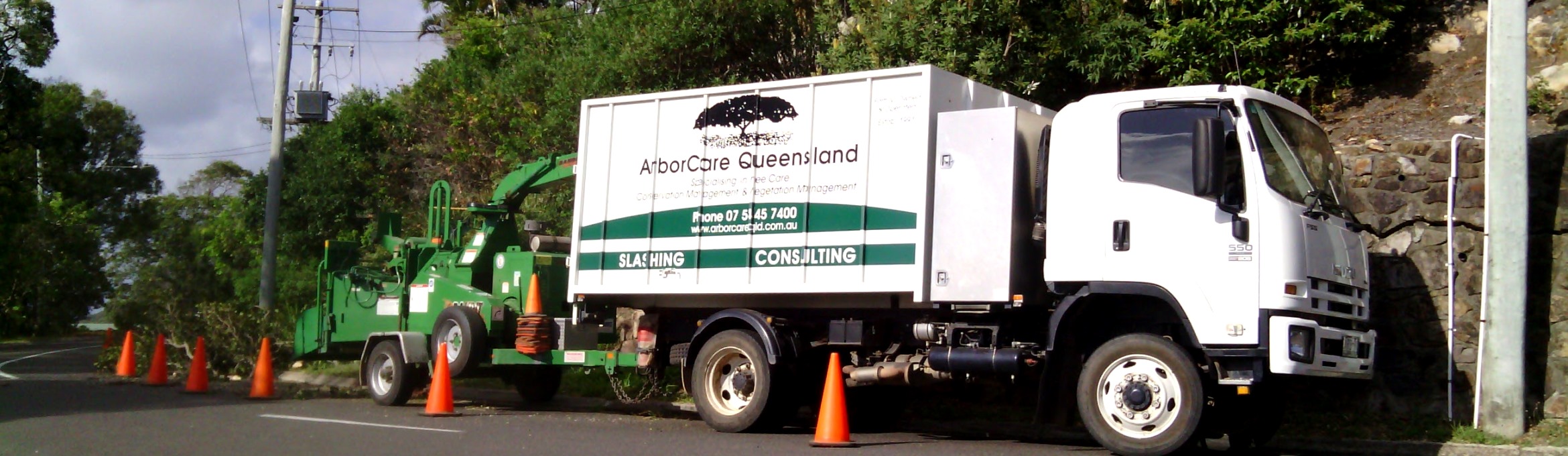
Through innovation and systems development, ArborCare Queensland has become a leader in providing vegetation mapping and surveys for environmental planning, development, land management and conservation purposes.
We can map any area and provide reports detailing vegetation information, conservation values and land management options for a variety of desired outcomes. We are capable of providing spatial information acquired remotely or through on-ground surveys and precision ground-truthing. We offer the following services:
- Vegetation Management Plans for Developers
- Environmental Management Plans
- DA Management Planning
- Development Applications
- Project Management
- Council Vegetation Protection
- Bushland Operational Assessments (BOA)
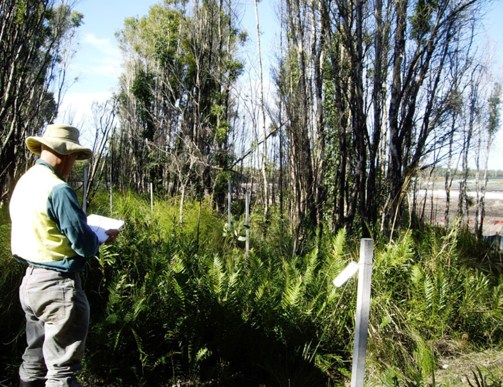
- Flora Surveys
- Regional Ecosystem (RE) maps
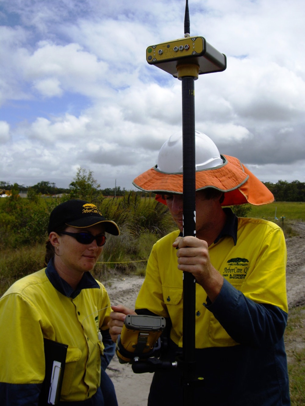
- Precision GPS Positioning and Monitoring for Rare and Threatened Flora Translocation
Our trained and qualified team provide effective and easy-to-read solutions for data analysis and presentation. We work with a variety of data collection tools and mapping programs to provide unique solutions to any problem. As experts in the field, we are aware of the great variety of technology-based options that exist for creating mapping solutions.
As a result, we can sit down with you and discuss the most relevant and cost-effective solution for your project goals. We have the capacity to work with your existing systems and programs or develop and recommend the best system solution for your project. We pride ourselves in our ability to integrate systems and if necessary provide stand-alone solutions.